| View
some of Oceanica's many projects, past and present! |
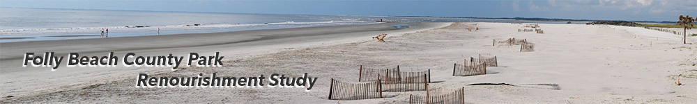
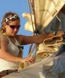
CofC
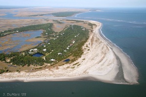
geology faculty and students assisted Charleston County Parks
and Recreation with documenting the
results of the 2013 renourishment of the Folly
Beach County Park renourishment project. View aerial images
beach survey results, and photo galleries of this 2-year study. |
|
|
 |
|
|
Aerial
Photo Galleries
Dynamic
changes along SC's
barrier islands are documented
from the air, using low altitude
images collected since 2001.
|
|
|
|
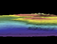
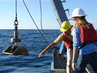
Mapping
the Continental Slope
A team of CofC students
joined the
US Geological Survey aboard the
NOAA Ship Ronald Brown to map
from Cape Hatteras to Nova Scotia.
.jpg)
|
|
|
|
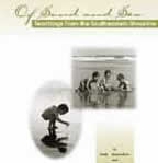
Of
Sand and Sea
A
marine science mini-text (pdf)
by Paula Keener-Chavis
and Leslie Sautter, published by the
SC Sea Grant Consortium.
|
|
|
|
|
|
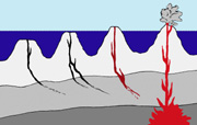
Exploring
Plate Tectonics
This
suite of hands-on activities created
by Dr. Leslie Sautter helps students of
all ages understand the basics of the
Plate Tectonics Theory.
|
|
|
|
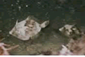
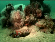
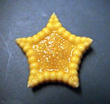
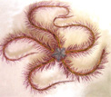
Continental
Shelf Echinoderms
Many
species of seastars, brittle stars
and other members of the "spiny skin" Phylum
Echinodermata live off our coast.
|
|
|
|
|
 ....
....