Welcome to The BEAMS Program
The College of Charleston's BEnthic Acoustic Mapping and Survey Program
Department of Geology and Environmental Geosciences
School of Sciences and Mathematics
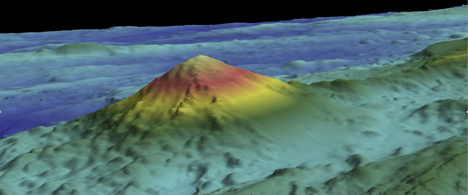
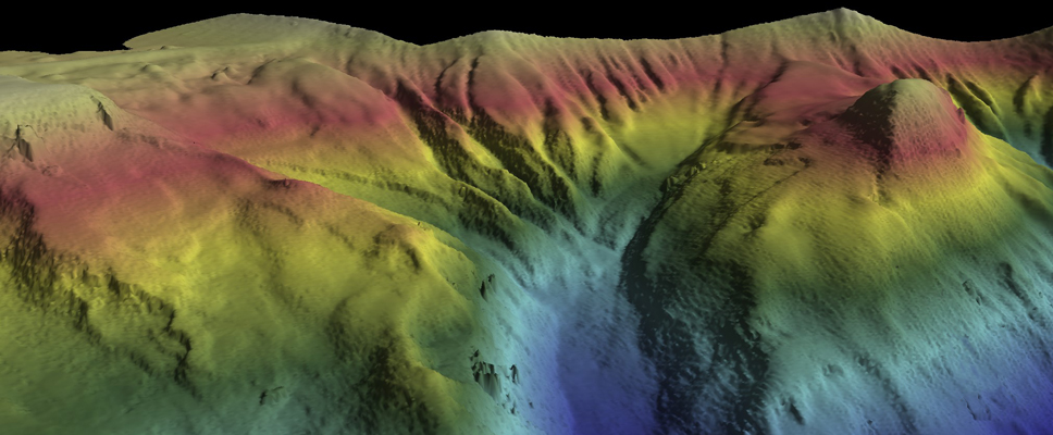
The BEAMS Program is an undergraduate-focused training and research program with the mission to develop a strong and qualified workforce of ocean surveyors in support of the academic, research and operational marine communities. The program was founded in 2007 within the College of Charleston's Department of Geology and Environmental Geosciences and was expanded in 2011 to include the University of Washington's School of Oceanography. BEAMS students learn to use state-of-the-art multibeam sonar data processing software to generate bathymetric maps and acoustic backscatter imagery for seabed classification. Those who elect to reach full "BEAM TEAM" status, continue on to the research course, which offers a multi-day at-sea sonar data acquisition cruise and requires a full research project using data either from NOAA NGDC or collected during BEAMS cruises. Students present their results at regional and national meetings annually. Development of supplemental field-based courses for sidescan sonar and sub-bottom profiling, workshops for training in additional software, and plans for summer institutes are all underway. |
 |
 |
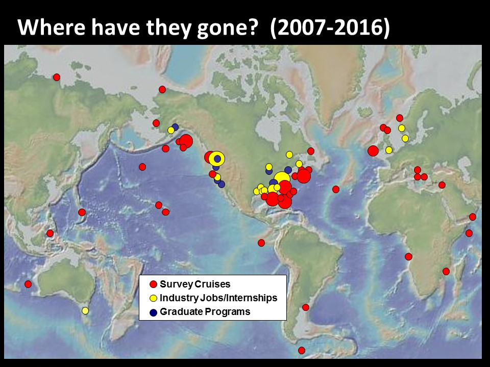
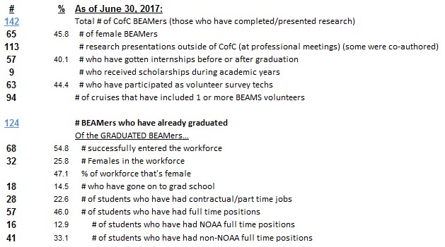
The program is not grant supported, but is maintained through each home institution’s funds, along with partnerships from industry. Primarily from an Academic Program Partnership with Teledyne Caris. To date, over 160 students at the two institutions have participated in BEAMS. More than half of the students who have graduated have successfully pursued graduate school or sought employment in the marine geospatial field. 45% of this workforce is female. The combination of learning new technologies and software, conducting and presenting research, and gaining hands-on field experience has proven to be a strong attractor for students; and job, graduate studies, internships and volunteer opportunities have grown as the need for higher resolution seafloor images and maps has increased globally. This website mostly highlights the College of Charleston program. For more information on UW's program, contact Dr. Miles Logsdon (mlog@uw.edu). Please follow us on Facebook |
Feel free to review our 2016-2017 Annual Report and program metrics on the College of Charleston BEAMS Program Alumni successes. |
 |
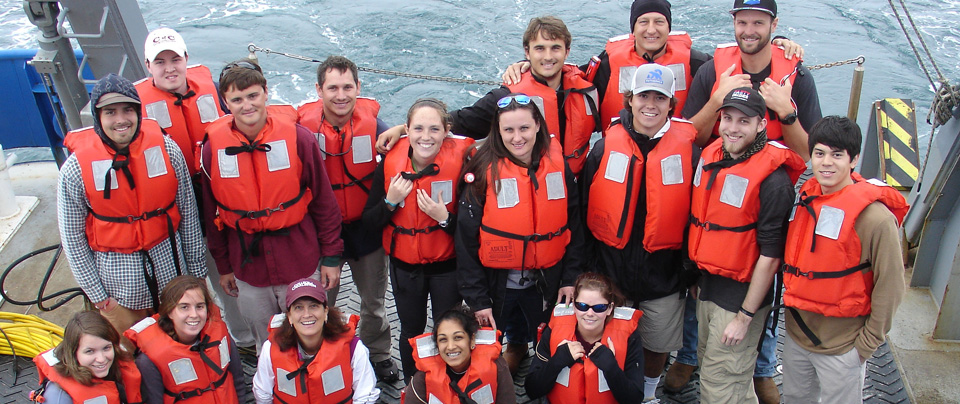
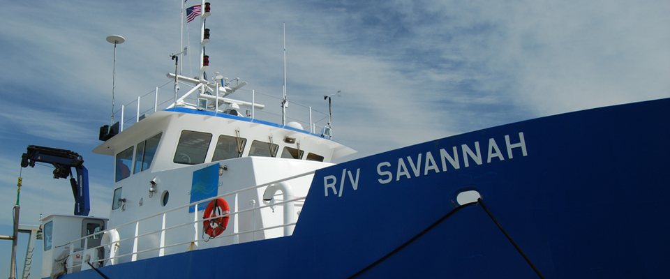
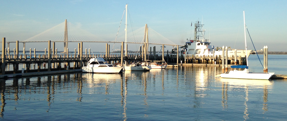
The at-sea experience offered through the BEAMS Program is the hallmark of this one-of-a-kind undergraduate research program. Support for annual ship time is the primary way in which the BEAMS Program can maintain the level of excellence for which it has come to be known. If you're currently employed, please be sure to inquire if a match to your donation is possible. Our GOAL is to raise $20,000 by March 1st so that the cruise this spring will be possible. Thank you for helping to ensure that future BEAMers are able to participate on the BEAMS shipboard experience. |
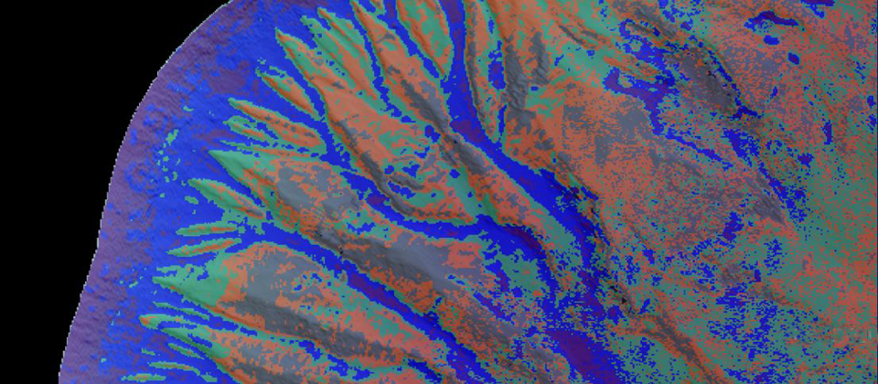
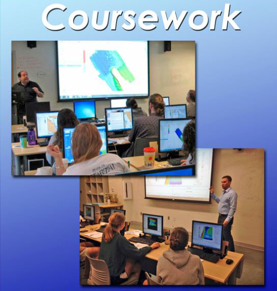
A core of required elective courses teaches students a comprehensive suite of critical software, technologies and other skills for use in ocean surveys. The foundation course, Introduction to Seafloor Mapping (“SeaMap”) provides training in CARIS HIPS. Students learn the software using data from NOAA, USGS, and other sources. |
 |
|
|
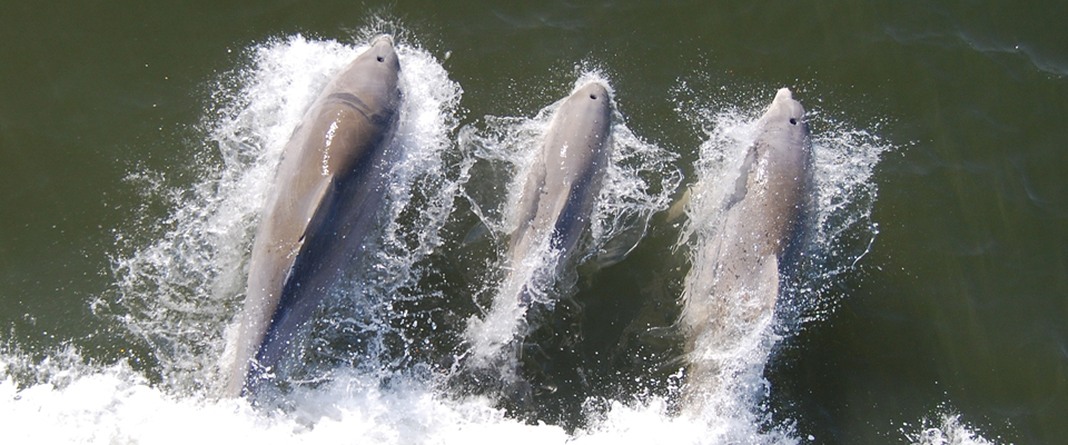
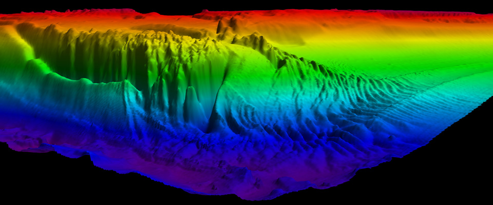
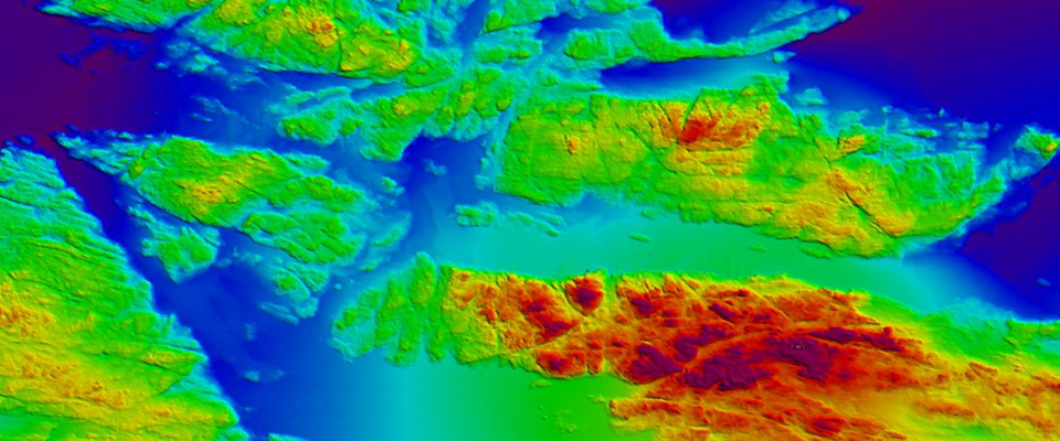
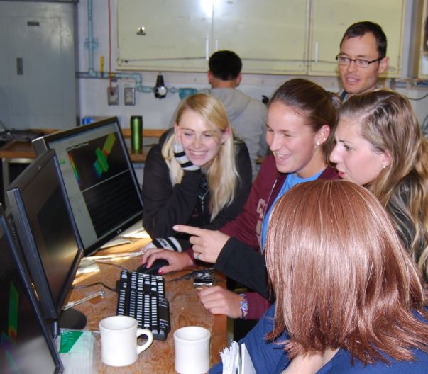
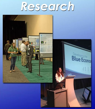
Students each conduct independent research, applying their skills to geological and biological studies. Partners from NOAA, USGS and elsewhere provide datasets for student research. Nearly every student presents his/her research at a regional and/or national meeting. |
|
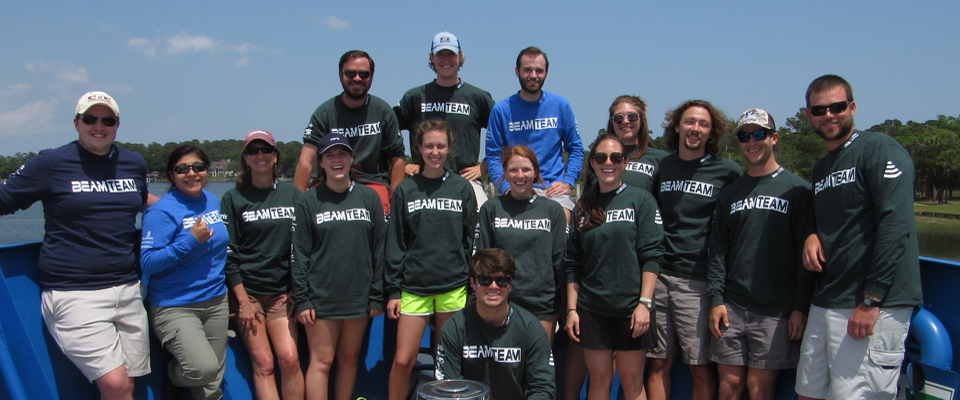
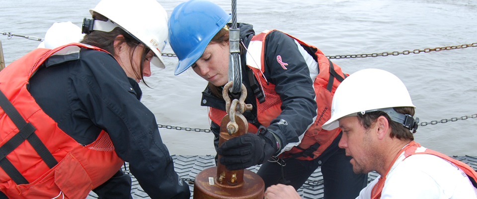
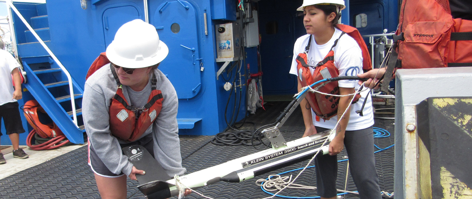
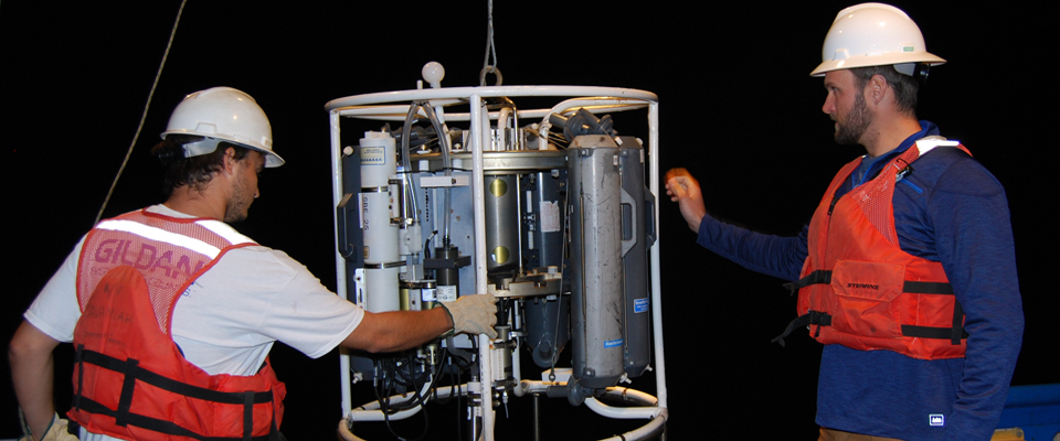
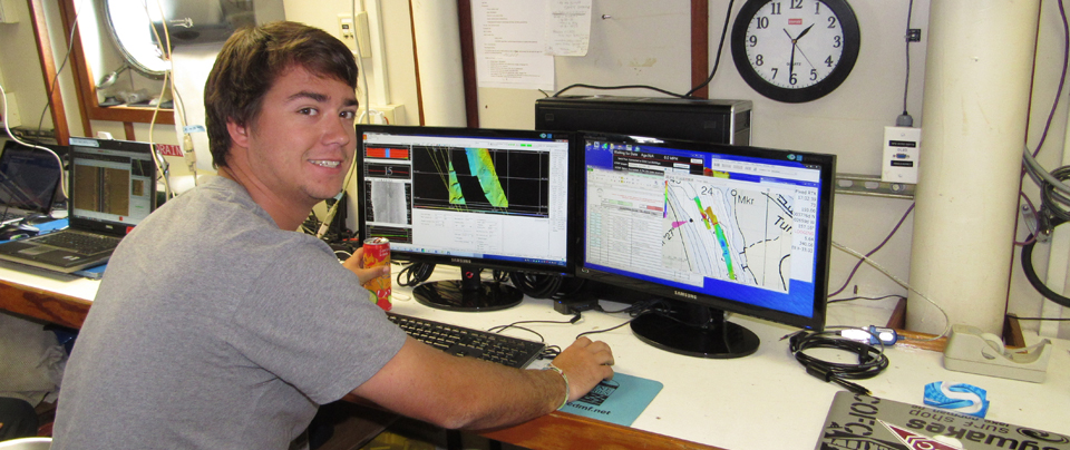
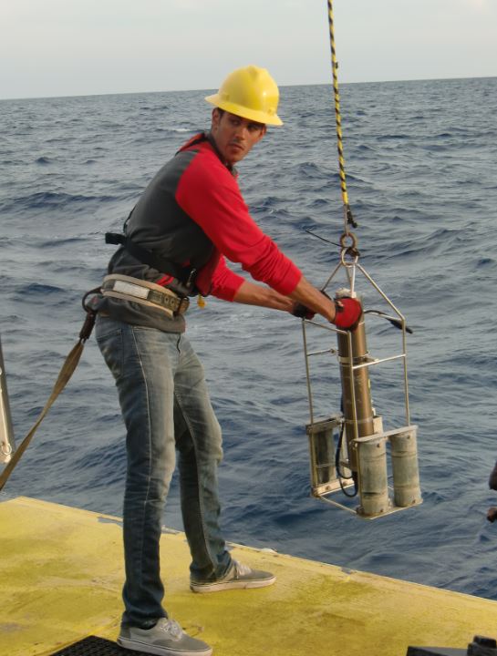
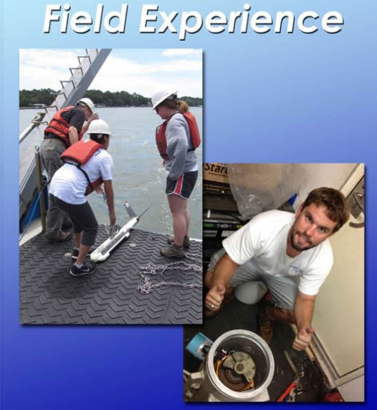
Practical at-sea experience is a cornerstone of BEAMS. Students have a unique opportunity to sail aboard a research vessel during a BEAMS-dedicated multibeam sonar survey cruise. During their time at sea, students learn the instrumentation for data collection as well as the planning and data acquisition software. They also post-process data during each survey and begin analyzing their results. |
 |
|
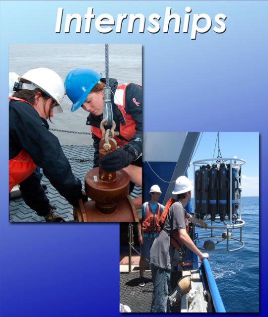 |
Through industry and government partnership development, BEAMS will continue to promote development of numerous student internship opportunities. These internships range in duration, scope and pay. |
Global Reach
|