|
Folly
Island, SC - Northeast End |
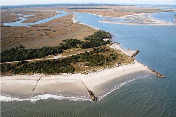
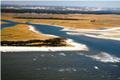
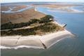
Temporal changes (i.e., changes occurring through time) are documented for Folly's northeast end.
northeast end.. |.. Lighthouse Inlet shore.. |.. the "Outermost House"
Click on a thumbnail to view a larger version of
the photo.
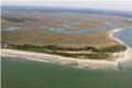 2002 d |
|
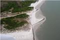 2007 d |
|
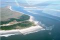 2003 d |
 2008 |
||
 2005 d |
d |
||
d |
d |
||
Publication
of Project Oceanica, Dept. of Geology and Environmental Geosciences, College of Charleston For questions or comments, e-mail Webmaster . |
|||