|
Return
to Multibeam Home Page
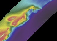
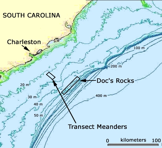
Doc's Rocks
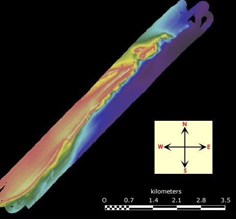
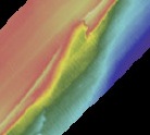
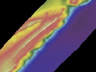
A rocky feature referred to as Doc's Rocks was mapped by the College of Charleston
2007
Beam Team, using multibeam sonar collected in Nov. 2006
from aboard the NOAA Ship Nancy Foster.
Doc's Rocks is located approximately 60 miles from the coast of South Carolina at the edge of the continental shelf, where water depths begin to descend rapidly from 40 to 1000 meters.
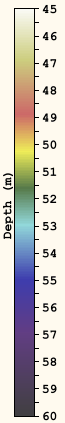
Doc's Rocks consist of rocky ledges and low-relief ridges in water depths of 45 to 60 meters.
This area is known as excellent fish habitat for snapper and grouper, but until recently
has not been mapped in detail.
Click on an area of the basemap, below, or click on the thumbnail images
below the basemap
to examine in detail the areas studied by CofC students. View location. |
 ...
...