Return to Multibeam Home Page

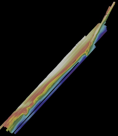
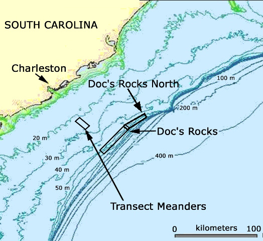
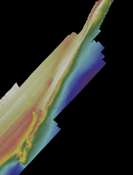
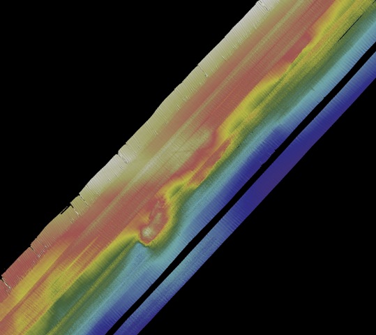
Doc's Rocks North

The College of Charleston Seafloor Mapping class (Beam Team 2009) collected multibeam
sonar data in Nov. 2008 from aboard the NOAA Ship Nancy Foster. The area surveyed is the
northeastern extension of Doc's Rocks, mapped in 2006.
The area consist of rocky ledges and low-relief ridges in water depths of 45 to 60 meters.

Click on an area of the basemap below to examine in detail the areas
studied by CofC students. View location.

scale...

Close-up of the northeast ridge of Doc's Rocks North.
This narrow, very linear feature has about 2 m of relief.

scale ..
Top


The southwest portion of Doc's Rocks North shows similar rocky features to
the main portion of Doc's Rocks (just to the southwest of the figure).

scale ..
Top

Publication of Project Oceanica, created by Mike Reed and
Leslie Sautter as part of the
College of Charleston Seafloor Mapping Program

For questions or comments, e-mail Oceanica's webmaster.