Areas
of Study
Select
an image to examine different areas the students have studied.
Or, visit the Research Posters portion of this site.
HOME
|
| |
|
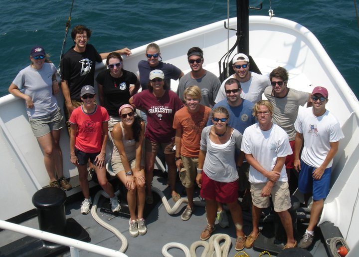
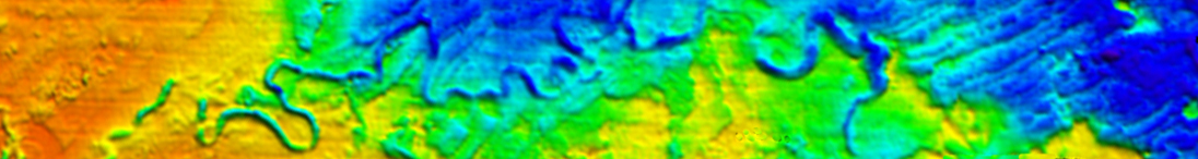
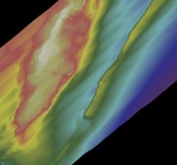
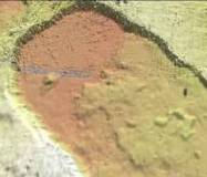
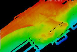
Transect
Meanders
Mid-Shelf off
Charleston, SC |
|
|
|
|
|
|
|
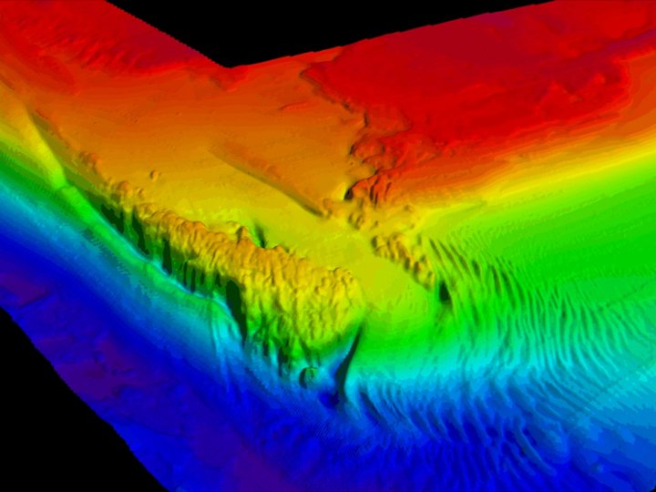
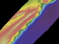
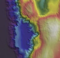
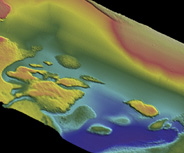
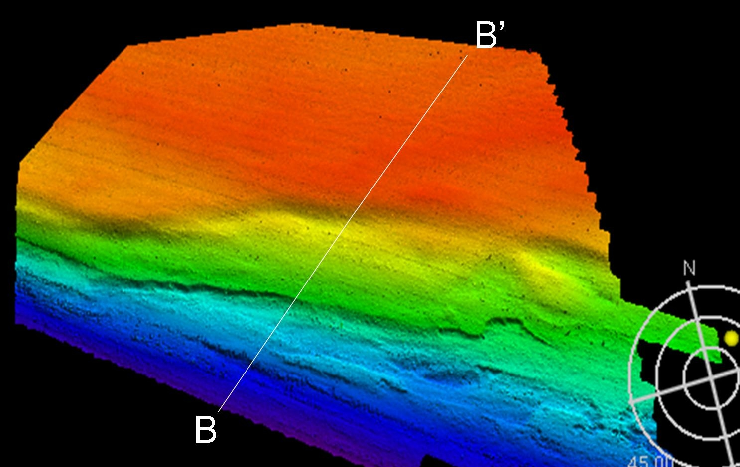
"George's Ridge"
Shelf Edge off
South Carolina coast, northeast
of Doc's Rocks North
|
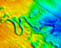
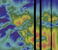
J-Reef
North northeast of Gray's Reef
National Marine Sanctuary, off
the Georgia coast |
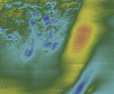
"Southern Exposure"
South of Gray's Reef National
Marine Sanctuary, off
the Georgia coast |
 |
 |
 |
|
|
|
...Studies completed, but web pages are still under construction...
(click on link to view related posters)
|
Hydrate Ridge
Continental Margin off the
Oregon coast; Regional
Scale Node of the OOI
|
Axial Seamount
Undersea volcano off the
Washington coast; Regional
Scale Node of the OOI |
Vieques, Puerto Rico
Coral reefs off the north
and south coasts of the
island. |
 |
 |
 |
|
|
|
|
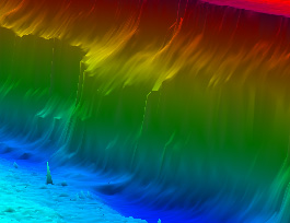
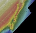
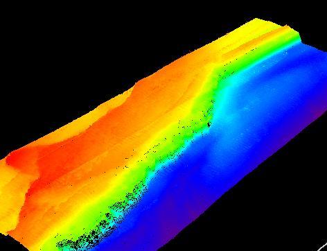
Georgetown Hole
Shelf Edge off
South Carolina coast
|
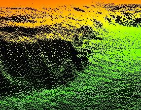
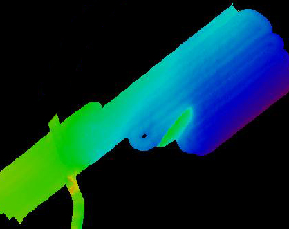
Julian's Ridge
Shelf Edge off
South Carolina coast |
Scamp Ridge
Shelf Edge off
South Carolina coast |
 |
 |
 |
|
|
|
|
Pulley Ridge
Shelf Edge off
Southwest Florida coast |
|
Miami Terrace
Florida Straits off the eastern Florida coast |
 |
|
.jpg) |
|
|
|
|
Publication of Project Oceanica, created by Leslie Sautter
as part of the College of Charleston BEAMS Program.
For
questions or comments, e-mail Oceanica's
webmaster.
|