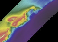
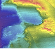
Map view of the Paleo-Channel (southwest portion) and
Crescent Ridge (northern portion). North is at the top of the image.
Triple Ledges | Thumbprint | Basemap
Scroll
down to review gallery images. |
![]() .....
.....
Map view of the Paleo-Channel (southwest portion) and
Crescent Ridge (northern portion). North is at the top of the image.

Paleo-Channel and Crescent Ridge viewed looking northwest.
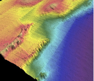
Paleo-Channel viewed looking north.
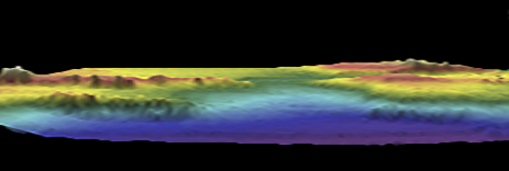
Looking northwest toward the Paleo-Channel.
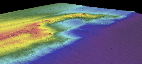
Crescent Ridge
looking north. Two terraces may represent slumping
caused by weakness
in underlying
rock (probably limestone).

Looking northwest, Crescent Ridge, lowest terrace.
Southward view of Crescent Ridge.
(note: some of the "striping" is due to tide differences
that have not yet been corrected.)

Overview of Crescent Ridge and Paleo-Channel with profile locations marked.
Profiles are shown below.
1 2
2
Paleo-Channel cross section 1-2 (scale in meters)
D F
F
Profile D-F running through the Paleo-Channel (scale in meters).
This is an example of a graded slope.
A C
C
Profile A-C bisecting Crescent Ridge (scale in meters)