Quad I | Quad II | Quad III | Quad IV | Quad V | Basemap | Multibeam Home
Scroll
down to review gallery images. |
.........
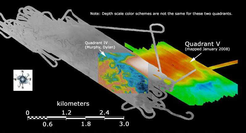
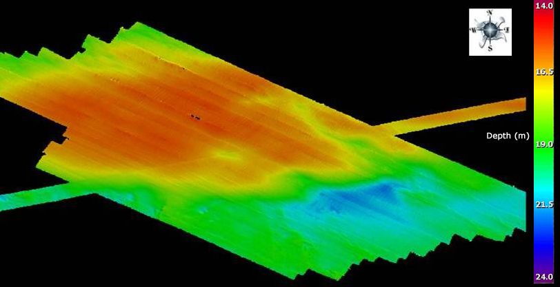
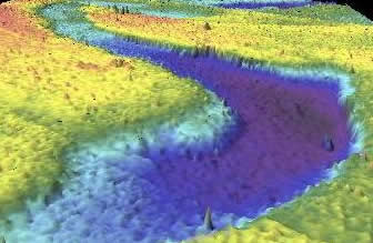
This area was mapped in January 2008. Rough seas have contributed significant noise to the
image, but the general features of a broad, smooth body of sand (red)
that is cut by a 1 m channel is evident. This area exhibits approximately 9 m of relief (~27 ft.).
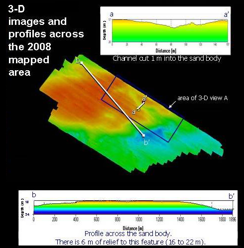
Profile a-a' depicts a channelized area, whereas
profile b-b' that cuts across the area shows a smooth ridge of sand.
3-D view A (looking northwest) of channellized area
shown by boxed inset in previous figure.
........